Coast Guard Official Photos
The photos were either retrived from the National Archives or the Coast Guard Historian Office
I want thank the staffs for the excellent
and professional service - Bill
SEP 1942
Year unk.
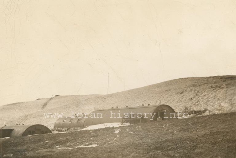
Looking down at camp from near Loran hut. Nikolski Bay - Bering sea in backgraound. Lake
showing at right affords good water supply all year around.
Looking up hill from to Loran hut - 900 ft. side walk going up - this is a bad feature.
Looking at the store hut from galley. This is only level space on land and is along side lake.
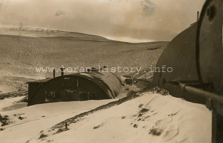
The furthest hut at lower left is now used for galley since regular galley lost by fire.
The road to Nikolski where all supplies are landed. New route must be followed each trip
owning to softness of tundra.
Five miles of road are needed here - a few inches of gravel
would do.
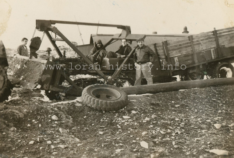
At present this is only method of transportation. A good ten wheel truck would do better than
tractor which breaks thru tundra
except in cold dry weather.
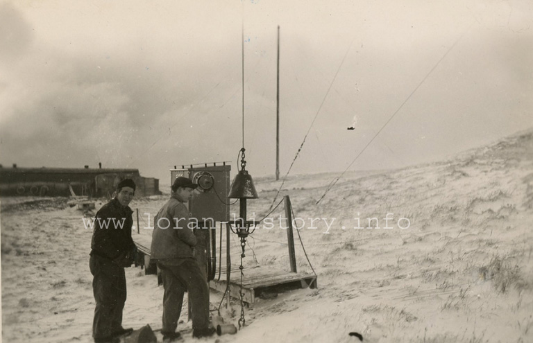
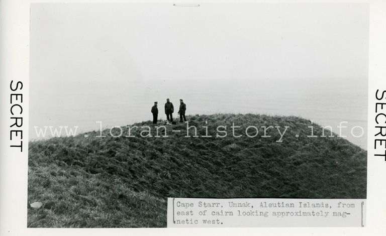
Setting up new "doghouse" - note sidewalk and rope guide - the only way you can navigate in
bad weather, even for 75 feet.
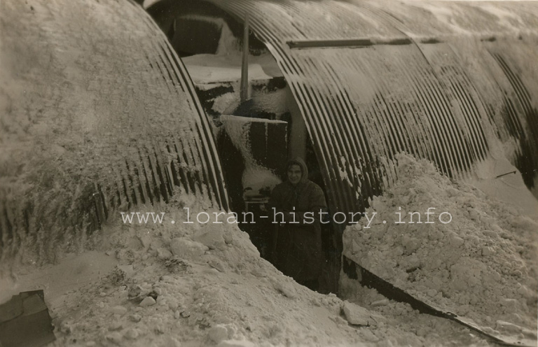
Objection to Quonset huts - you have to dig out each AM to go to breakfast usually from
drifts - snowfall at Umnak not bad.
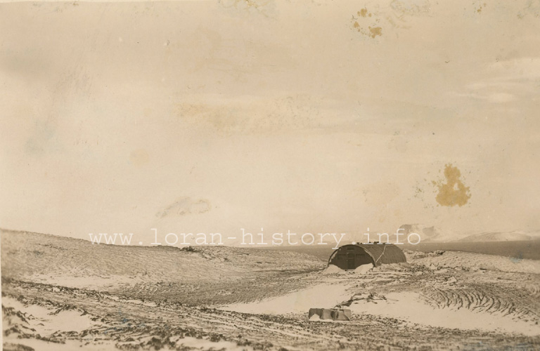
Nikolski Bay
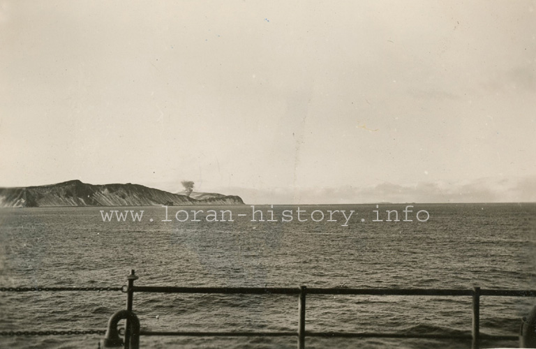
Smoke shows location of camp. Antennas high up tonight. Camp is funnel between hills but
more exposed NE than SE. Take from Nikolski Bay.
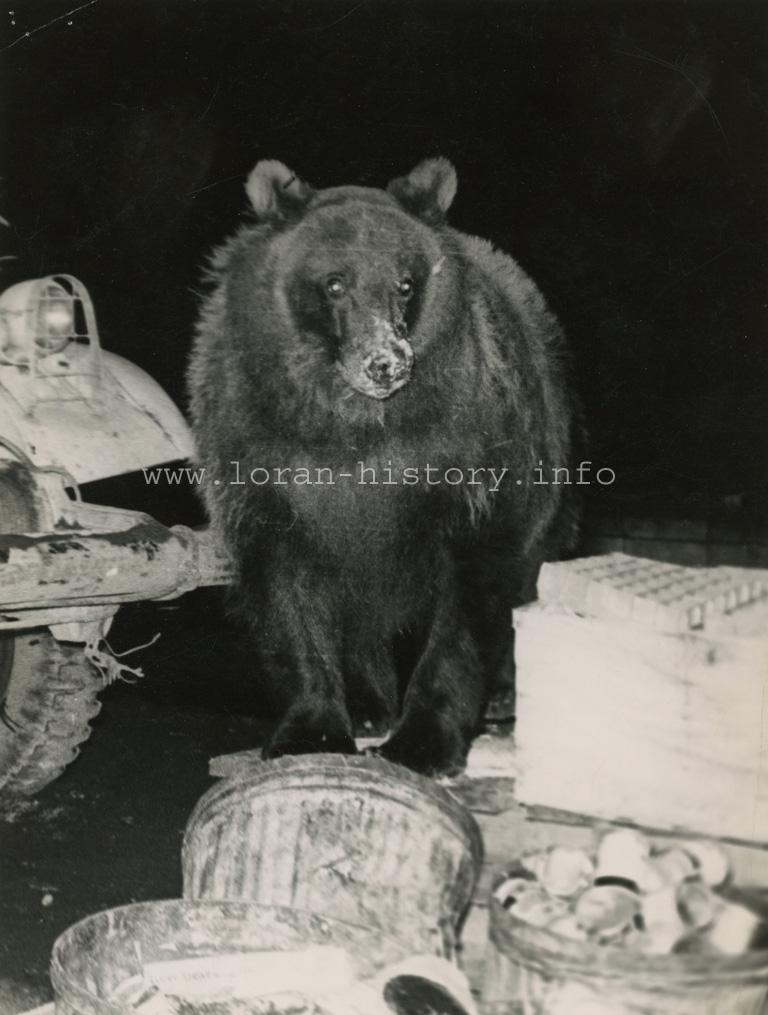
Kodiak club 600 lbs Brown bear, foraging for food on garbage rack.